Online October Auction (Sale #270)
Lot 365:
Description
19th Century United States Engraved Maps
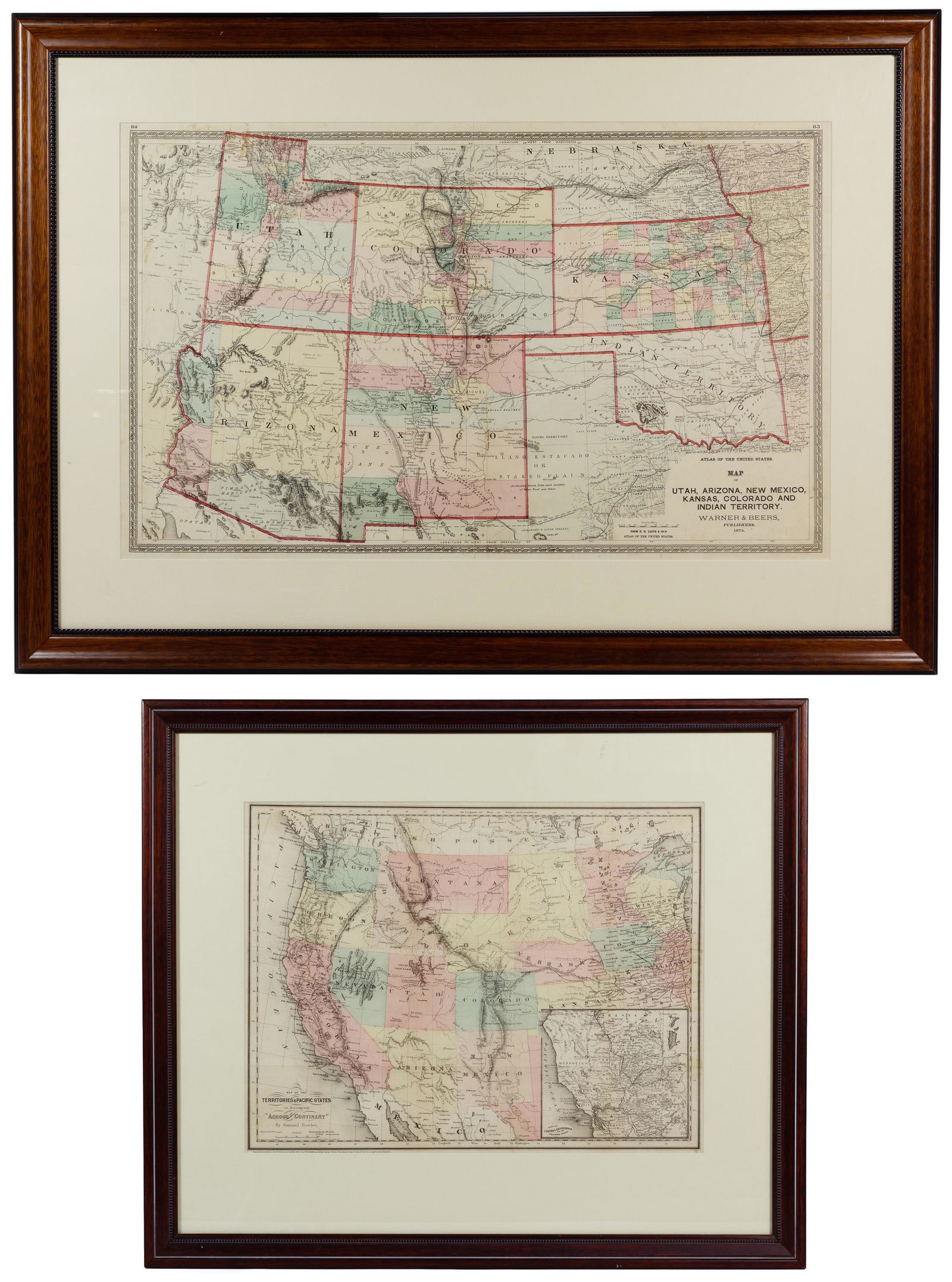
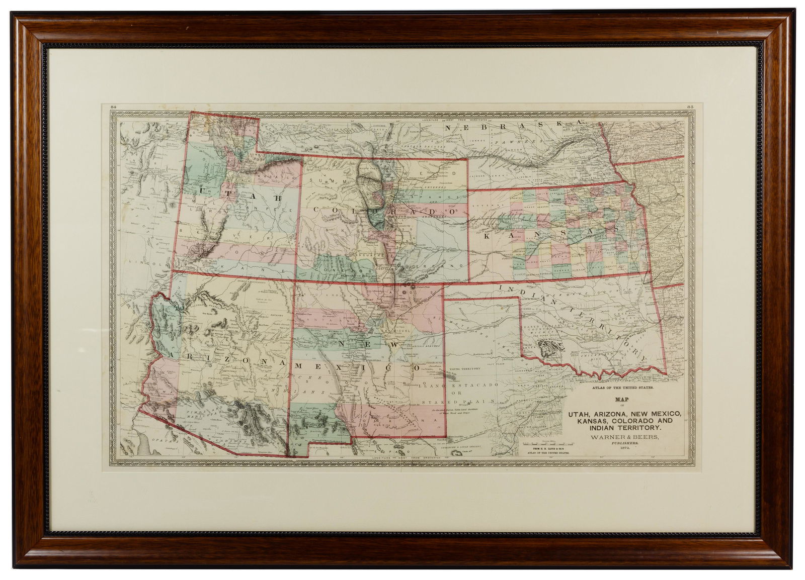
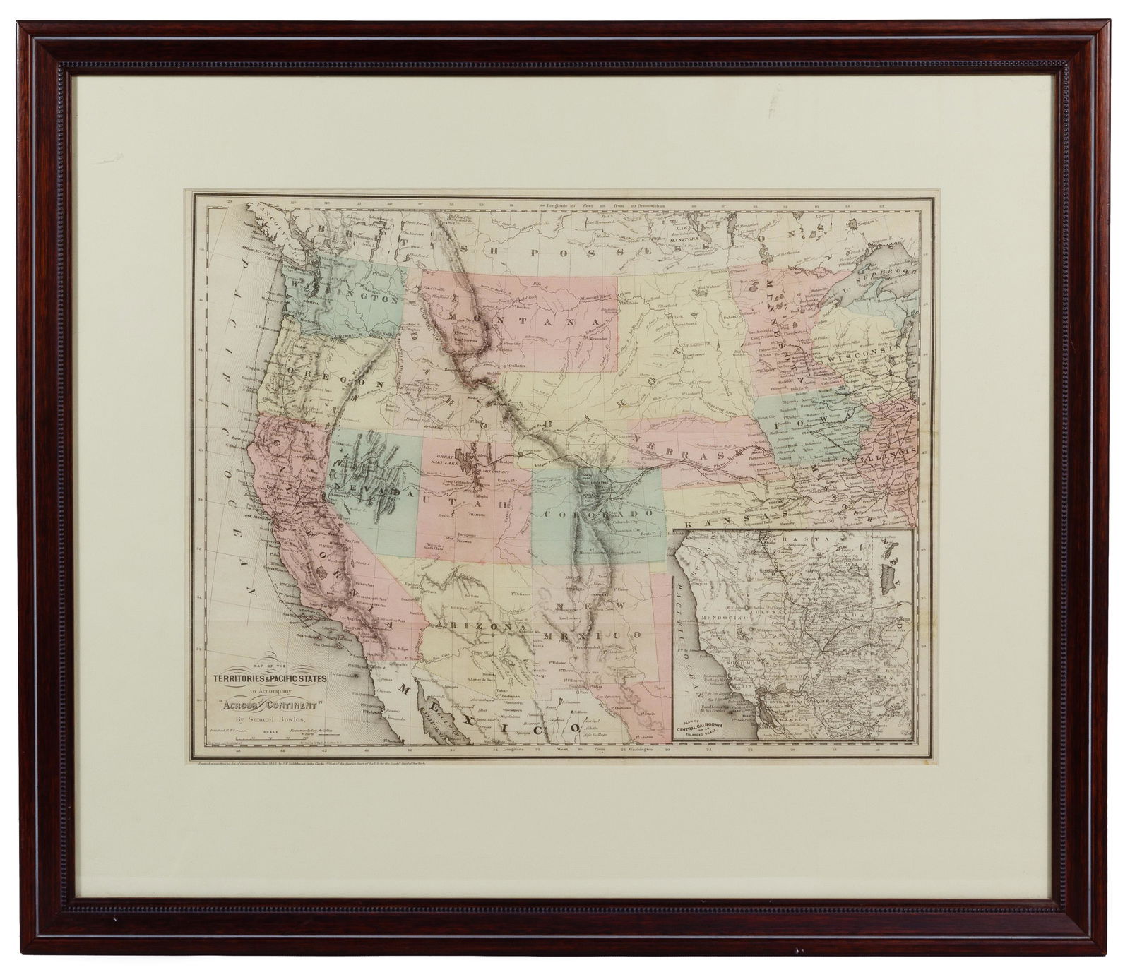
Two maps including 1865 of the ‘TERRITORIES & PACIFIC STATES’ to accompany ‘Across the Continent’ by Samuel Bowles, having detailed ancillary map of ‘Plan of Central California on an Enlarged Scale’ with the ‘Pony Express Route’ and railroad tracks to date; and 1872 southwest and ‘Indian Territory’ by Warner and Beers, matted and framed in dark wood; property from a Lake Forest, Illinois collector
Condition: Very Good, staining to right edge of ‘TERRITORIES AND PACIFIC STATES’; ‘Indian Territory’ having stain at upper left corner and areas of foxing; light dirt accumulation, maps having fold marks; not examined out of the frames
Height: 17 1/4 inches, Width: 28 1/4 inches (largest size)
Frame Size: 26 1/4 inches by 36 3/4 inches
Category: Collectibles > Books
Shipping Status: Leonard Auction, Inc. will provide direct shipping for this lot. Please visit our website for a shipping quote.
Approximate Sale Time: 2:36 pm CST
Links to High Resolution Images:
Image #1
Image #2
Image #3
Condition: Very Good, staining to right edge of "TERRITORIES AND PACIFIC STATES"; "Indian Territory" having stain at upper left corner and areas of foxing; light dirt accumulation, maps having fold marks; not examined out of the frames
Dimensions: 17.25 x 28.25 in
Share this lot: